


Antonine Wall at Castlecarry
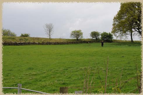
the enormous field, under which lies a roman fort on the antonine wall
1st Century Roman Fort
Doesn't look like much, does it? Just a flat field in a small town near the Antonine Wall across Scotland. The roman fort here was built in the 1st century CE, probably in 80 CE and was abandoned in the next century. The governer Cnaeus Julius Acricola is associated with the site.
The site is about 3 1/2 acres, and if you're careful you can walk through the field and see the bits and pieces of stone that were excavated.
The site was extensively excavated in 1902, although it is hard to envision the layout of things here from ground level -- from the air, the outlines of buildings and roads can be seen (at least faintly). Much more extensive stone ruins can be seen at Chester's Fort, or Corbridge Roman Town fiurther south on Hadrian's Wall.
The Antonine wall crosses Scotland across the middle, between the Firth of Forth and the Firth of Clyde and was the most northerly Roman frontier. The much more grand Hadrian's Wall is further south, in Northumberland, England. The Antonine Wall is more of a dich and tower affiar, with the actual wall only about ten feet high.
Of course, I remember Castlecarry as the place I mooned an entire Glasgow-bound passenger train. What can I say? It looked like it was going to a relatively secluded place to pee out in the sheep pasture. It wasn't.